Page 1 :
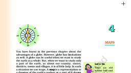
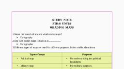
Chapter 8 Unit 3 (Maps), A., , B., , C., , Name, 1., , Name the set of lines used to find a location of a place on a map., , Grid, , 2., , The land parts and the water parts shown on a globe., , Oceans, , 3., , A book of maps., , 4., , Any two types of maps., , City map, , Political map, , 5., , Any two elements of a map., , Title, , Direction, , Continents, , Atlas, , Tick the right words:, 1., , Political maps show (political/physical) functions., , 2., , Maps have an arrow and an ( N / S ) printed over it., , 3., , City maps show all the (details of a city / physical features)., , 4., , A key is the (symbol / grid ) used in a map., , 5., , The use of colours in a physical map is (of great importance / not so important)., , Give the correct colour code for the following:, 1., , Mountains are coloured blue., , Dark Brown, , 2., , Plains are coloured brown., , Green, , 3., , Water bodies are shown as red., , Deep Blue, , 4., , Deserts are coloured green., , Yellow, , 5., , Highlands are coloured deep blue., , Yellow and, Light Brown, , D., , Describe the following:, 1., , Globe :, A globe is a model of the earth., , 2., , Map :, A map shows the entire earth on the flat surface., , 3., , Atlas:, An Atlas is a book of maps., , 4., , A title:, A title tells us whether the map is a City , Political , Physical or Distribution map., , 5., , The scale:, The scale of a map can find out the actual size of the place and tell us how much, of the place on the earth has been reduced to, a paper.
Page 2 :
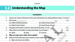
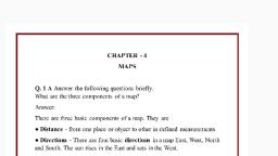
C., , Answer in detail the following questions:, 1., , Give any two advantages of a map over a globe., , Ans: 1., 2., 2., , Maps show the entire earth on a plain surface., Maps show various landforms and resources., , What do political maps show?, , Ans: Political maps shows the political divisions of a country., 3., , What do political maps tell us about?, , Ans: Political maps tell us about country and its states and also show where cities,, towns and villages are located., 4., , Why are distribution maps important?, , Ans: Distribution maps are important because distribution maps show distribution, of soils, crops, forests, industries , minerals and population., 5., , Why do tourists carry city maps?, , Ans: Tourists carry city maps because city maps show all the details of the city with, land routes and also to help them locate historical sites, hotels, market etc.